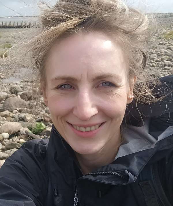
mgr Dorota Kaulbarsz

In an era of growing pressure to utilize marine space—both in the context of energy infrastructure development (wind farms, submarine cables and pipelines), environmental protection, and tourism development—it is essential to make decisions based on reliable, integrated spatial data. Marine geological cartography, resulting from studies of the geology of the seabed and its subsurface, provides key information for rational and sustainable spatial planning of marine areas. This presentation will present examples of the application of geological data in decision-making processes—from the location of offshore wind farms, through the designation of aggregate extraction areas, to the identification of zones of particular ecological sensitivity.

